|
Today it was nice and sunny
and we headed for Matewan to get our TV restored as that was the nearest
cable office. I'm told you now need to provide a photo ID to be able
to sign up for cable TV so it had to be a visit in person.
So.. Deb.. with my good self in tow.. started
out. You do need to ensure the seat belt is well tightened when Deb
is driving as she does tend to drive rather fast taking no notice of all
the tight hairpin bends and very large coal trucks!!! :-) Mind you I
did have to persuade her to take me there as she was off work today trying
to get over that very bad virus but she thought getting out in the fresh
air and sunshine might actually help and so off we went.
This was an opportunity to take some more
pictures of a new part of the area going up the hollow and over the top
and so here are the pics from today...
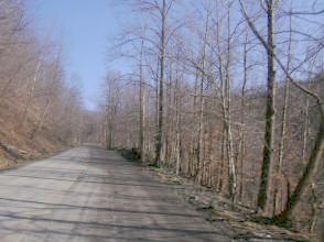
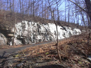
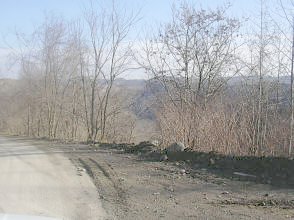
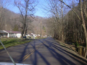
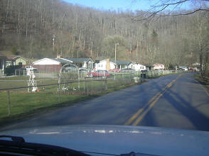
This was us heading up the hollow and you can
see on the right the load of ice still clinging to the sides of the road
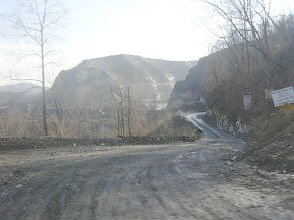
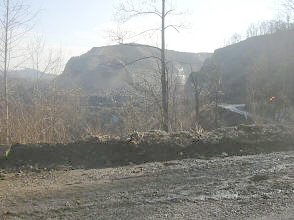
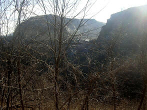
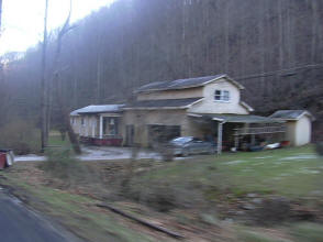
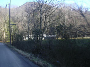
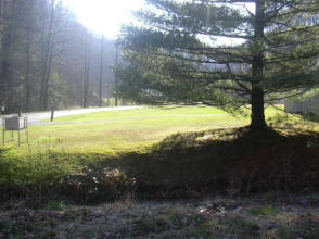
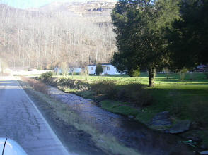
These are views at the top of the hollow where
they are mining right through the mountain
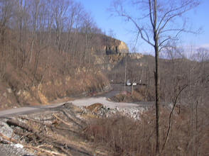
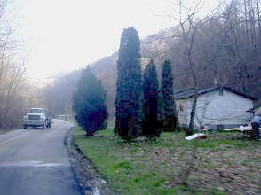
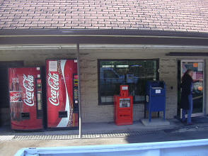
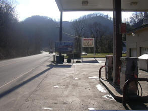
We past over Ballfork mountain and into
Blackberry where we stopped to get a drink
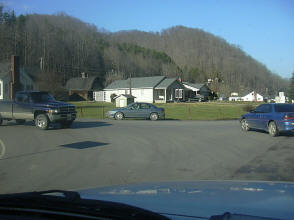
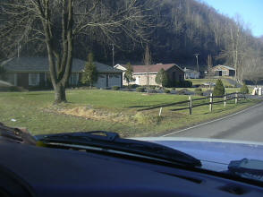
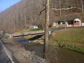
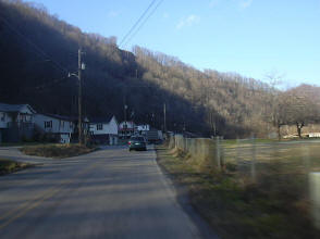
This was us arriving at McCarr where due to
flooding in this area all the houses are built up the hill and even then
on a second story. This is the Tug river which Deb tells me is the largest
creek in the United States. It's called Tug River but it's actually 1.5ft
shorter than what is classified as an official river and hence it's the
longest creek in America :-)
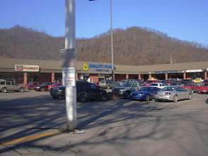
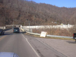
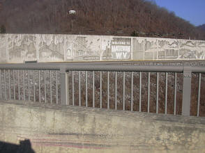
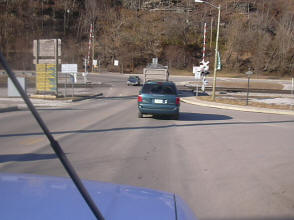
This was us going over the Tug River Bridge
which separates Kentucky from West Virginia so we headed into Matewan
which is in West Virgina. You can see the flood walls that protect the
town
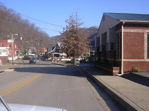
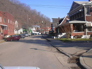

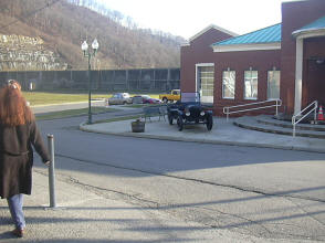
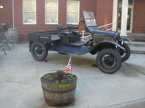
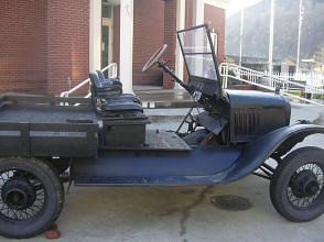
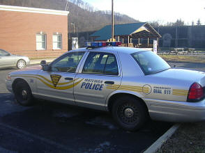
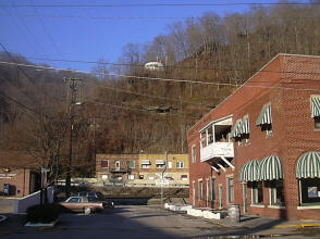
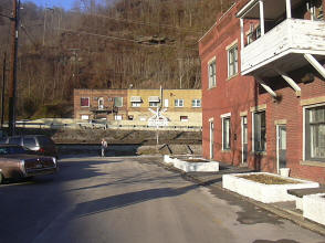
All these pictures are of Matewan
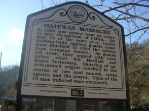
This sign tells of the Matewan Massacre of
which a hollywood movie was made
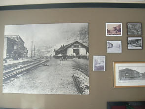
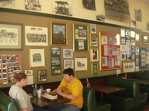
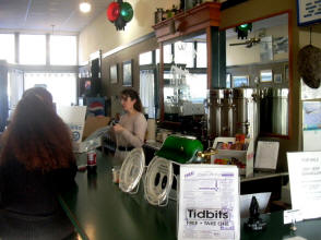
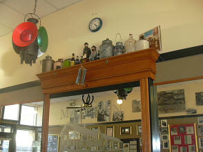
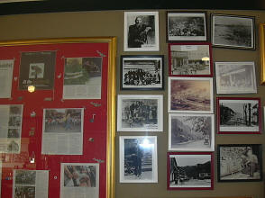
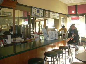
And here we are in the Matewan Depot
Restaurant with Deb waiting to be served a beer! Err well actually
they didn't serve beer but I couldn't resist the temptation to put that in
:-)
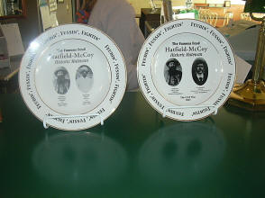
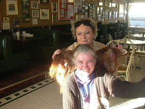
I'd certainly recommend a visit to this
restaurant as they were all very friendly and it certainly has some of the
history of the area. You can also see from the plates that this is
part of the Hatfiend & McCoy trail. Deb just happened to meet an old
friend, Peggy, and here was a little pose they put on for the camera :-)
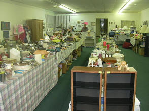
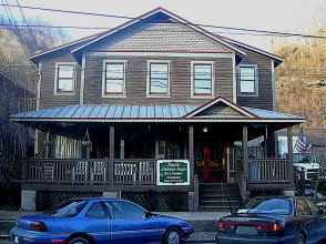
We might some nice folk in this flea market...
and we were told to visit this B & B on the right but the owners hadn't
returned by the time we had to leave. Apparently they have it all
decorated as it was in the 1920's.
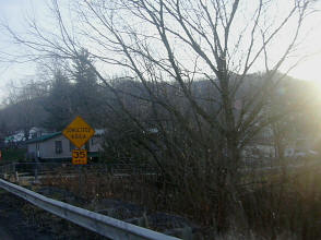
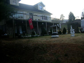
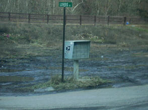

If you can make out this sign on the left it's
"Lovers Lane" :-)
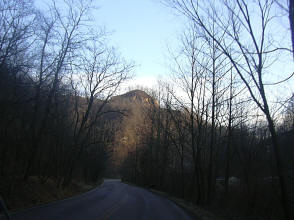
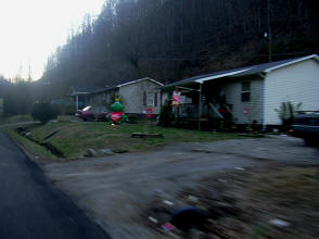
This was us heading back home so I took a few
extra pictures on our return
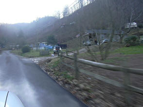
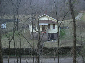
The picture on the right is Laura and John's
house which is around 100 yards up from Steve & Deb's house.
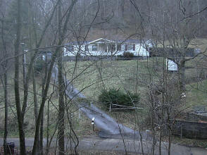
This house is just to the left of Laura's and
is one of two that I am interested in buying if I get my visa sorted out
:-) |

