|
THE RUM MOUNTAINS;
By HUGH T. MUNRO.
OF the thousands of tourists who, annually from the
decks of the Skye-bound steamers or the heights of the mainland, admire the
fantastic shapes and graceful outlines of the gabbro Hills of Rum, few have
ever set foot on the island, fewer still have scaled its peaks. Nor is the
reason far to seek. Communication with the island is confined to an
occasional and unadvertised call by the Hebridean, and when there,
accommodation is not to be had. The entire island is the property of one
man, and, although a certain number of sheep are kept, it is mainly devoted
to purposes of sport; and the sixteen men, who, with their wives and
families, constitute its population, are all the servants, keepers,
caretakers, or shepherds of the proprietor. I had often cast longing eyes at
the Rum Mountains, and had never passed the island without vowing that
sooner or later I would manage to visit it. This February, through the
introduction of a friend and the kindness of the proprietor, the late Mr
Bullough, who not only gave me the necessary permission, but most hospitably
placed the lodges and all the resources of the island at my disposal, I was
enabled to accomplish my object.
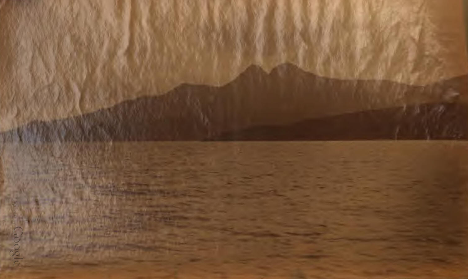
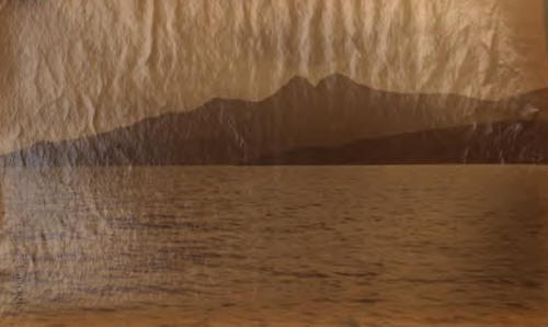
Rum is a compact and nearly round island, nine miles
long from north to south, by eight miles broad from east to west. About
two-thirds of the way up on the east side, Loch Scresort, with good
anchorage, extends for about a mile into the land. It faces east past the
Point of Sleat, eight miles off, to the mainland of North Morar, and the
entrance to Loch Nevis, nearly double that distance. Here is situated the
old lodge of Kinloch, backed by a small clump of trees, at present the only
timber in the island, though the proprietor is planting extensively. Bridle
paths extend from here to four other very small lodges which have lately
been built. That portion of the island which lies north of Loch Scresort is
a lowish and comparatively uninteresting moorland region nowhere exceeding
1,000 feet in height, with, however, grand views of Skye and the Cjichullins.
The remainder of the island is mountainous; seamed with deep and beautiful
glens, with many lovely' burns, waterfalls, and small lochs, well stocked
with fine trout.
Only four hills exceed 2,000 feet in elevation, and
these all lie together in the S.E. corner of the island, which contains all
the finest scenery, and which for ruggedness of mountain outline and
boldness of shape, as well as variety and beauty of distant views, is
probably unequalled in Scotland except in the neighbouring Cuchullins. Of
the four, the nearest to Loch Scresort is Allival (Ailbemheall), 2,365
feet—just two miles south of the loch—a grand rocky peak, with a sharp stony
aréte descending to the south to a col about 2,000 feet above the sea, and
rising again to Askival (Aisgemheall), 2,659 feet, the culminating height of
the island, and not only the finest shaped hill in Rum, but probably in
Scotland; the Cuchullins alone excepted. It is a beautiful sharp-pointed
rocky peak, and although under 2,700 feet, is an ideal mountain. It has four
distinct arétes. First the northern ridge already mentioned connecting it
with Allival. A second running due east descends very steeply towards the
sea, and with the northern aréte forms the fine eastern corrie between this
mountain and Allival. A third extends in a southeasterly direction, and, in
rather less than a mile, again rises to the pretty little rocky peak of
Beinn nan Stac, towering 1,800 feet over the sea at the foot of Glendibidil.
The fourth descends easily to the west (at right angles to that connecting
Allival and Askival) to a col about 1,600 feet, from which rises Tralival (Trâillmheall),
probably about 1,80 feet; also a shapely peak with an aréte to the south,
abutting against the bold northern cliffs of Ashval (Aismheall), 2,552 feet.
From Ashval a broad ridge, extending to the south, skirts a fine corrie on
the left or east overhanging the beautiful Glendibidil; and, rising over an
intermediate top, leads easily in one mile to Sgirr nan Gillean, 2603 feet,
which drops away to the sea at the southermost portion of the island.
In the grey dawn of a drizzling morning—the 4th of
February last—I landed in Rum. The day was not tempting for climbing, so I
went out to try for woodcock, accompanied by a keeper whose broad Lancashire
accent seemed out of place in the Highlands. We climbed about 1,300 feet
into the grand eastern corrie between Allival and Askival. The former kept
peeping out from the cloud, the summit of the latter remaining obstinately
shrouded in mist. The aréte connecting them, 700 feet above us, was,
however, quite clear, and looked from here as if it would not belie the
character which the keeper gave it of difficulty. We got some lovely views
of Eigg and the mainland. The former is only four miles from Rum, and not
five from where we were standing. The celebrated Sgürr does not show to
advantage from the west and north.
The weather continued unsatisfactory on the 5th. On
the 6th, having waited about until 10.30, I determined to profit by a slight
improvement, and at any rate climb Allival. I ascended S.W. by the burn, up
the Coire Dubh in the direction of Barkeval (Bairemheall), a fine-shaped
rocky mountain of 1,924 feet, lying two miles S.W. from the lodge. Very easy
ascent to a flattish ridge between it and Allival at a height of about 1,500
feet. For a few minutes I was puzzled by the distance the island appeared to
extend west, but soon found I was looking at the shores of Canna, the
intervening sound being hidden. A quarter of a mile or so to the S.E., after
striking the ridge, led to the N.W. aréte of Allival, which, although steep,
and continually requiring the use of hands, is not difficult. Reached the
summit at twelve. The top was entirely clear of mist and the views lovely;
though, as on the 4th, the summits of the mainland hills were hidden in
cloud, their bases only being visible.
The ridge connecting this mountain with Askival, as
before said, runs south. It descends to the col, which falls away steeply,
though not precipitously, both east and west, and might be ascended from
either side, and then again rises by a very narrow aréle to Askival, the
summit of which, three-quarters of a mile off, was now entirely clear, of
mist. Viewed from Allival, this aréte, though steep, looked practicable for
about half-way up, where a huge mass of rock—a veritable gendarme—appeared
entirely to block the way. Both the east and west faces of the mountain
looked from here inaccessible, and even if it were possible to turn this
mass of rock, two smaller blocks within a few feet of the summit seemed
insurmountable. I had been told by the keepers that the best way to climb
Askival was from the south, and that the ascent from "this side" was
extremely difficult, though whether by this side was meant this northern or
the eastern aréte I did not then quite make out. I think it must have been
the latter though. Anyhow, I was only out for a stroll, fully intending at
the time to have another day on these hills; and we all know that although
snow slopes are generally found to be far more formidable than what they
appear at a distance, rocks, on the contrary, which even from a short way
off seem inaccessible are often found easy when attacked. And so it proved
in this case. After casting about a little, I struck an easy way to the col,
and a few minutes' ascent by the very narrow ridge brought me face to face
with the gendarme, which, as anticipated, was quite perpendicular and
probably one hundred feet high. The east face, however, though steep—real
climbing—presented no particular difficulty. Several attempts to regain the
ridge proved abortive, I therefore kept to the face, reaching the summit
almost without knowing it at 1.5 P.M.
The clouds had clung persistently to Ashval and Sgürr
nan Gillean, although neither are quite as high as Askival, which was clear,
but as much of them as could be seen below the mist looked most formidably
steep and massive, indeed quite inaccessible. However, I had plenty of time
before me, so determined to descend to the S.W. to the head of Glendibidil,
which, indeed, is the easiest way down from Askival. Reaching the
col—Bealach an Oir—I thought I would at least go to the base of Ashval and
have a look; so I skirted the S.E. base of Traflval—which, rising only two
or three hundred feet above, looked easy—to Bealach an Fhuarain (the pass of
the springs), the col between Trailval and Ashval, about 1,650 feet. From
here there is a very pretty view to the west, or right, down a narrow glen
and over the little Loch Fiadh-innis, to the sea. As anticipated, the cliffs
of Ashval proved inaccessible from here. A western arête, however, looked
easier, so after striking upwards across some uncomfortably, though not
dangerously, steep screes lying on the N.W. face, and ascending by a nice
bit of real rock climbing with some rather awkward smooth slabs of rock, I
found the slope eased off for the last couple of hundred feet, and the top
(2,552 feet) was reached at 2.50. This steep climb might, as I had seen from
Bealach an Fhuarain, have been avoided by descending a few hundred feet to
below the bottom of the screes and then climbing by the crest of the ridge
instead of striking upward across the face. The last two hundred feet or so
had been in thick mist, which now got worse. From here to the top of Sgürr
nan Gillean (2,503 feet) is an easy twenty-five minutes' walk along a broad,
almost level, and often grassy ridge, with fine corries to the left, which
to-day had some good cornices of snow—luckily the only snow I saw all day;
as with snow or ice the route, if possible at all, must have been extremely
difficult.
I had been told that Sgürr nan Gillean was anywhere
easy on this side; if so, I was unlucky in the mist in striking the one
difficult place. I managed to get down into the almost dry bed of a small
burn, between cliffs sometimes so close that I could touch them on each
side. I had lowered myself down into a ledge and could not re-ascend, and
for half an hour had as steep and disagreeable a piece of climbing as I wish
to experience alone; sometimes on rocks at the side, sometimes on loose
boulders in the bed of the burn. For two men with a rope I encountered
nothing all day that would not have been child's play, but alone there were
several places requiring considerable care. I emerged from this gully and
from the mist at the same time, at a height of about i,600 feet, and in half
an hour, at 4.30 P.M., reached the track from Loch Scresort, at the foot of
Glendibidil. This glen, though only a mile and a half long, vies with
Glencoe in rugged grandeur, while in its contrasts of glorious sea views it
far surpasses it. Right at the head of the glen TraIlval stands boldly out;
Beinn nan Stac and Askival on the right, Sgurr nan Gillean and Ashval on the
left, the former tapering and graceful, the latter bold and grand. The glen
faces S.E., looking to the Sgiirr of Eigg; to the south of which, appearing
quite near, the low-lying green island of Muik is redeemed from monotQny by
the varying contours of its coast line. Over this is the long low promontory
of Ardnamurchan. the westernmost point on the mainland of Britain, and
behind it again the mountains of Mull faintly seen in the haze, with the low
shore of Coil rather nearer and more to the west. As the track leading to
Loch Scresort rises above the sea, grand cliffs of dark rock are seen, over
which numbers of little rills, leaping from ledge to ledge, finally plunge,
mingling their waters with the blue waves. The black cliffs are fringed with
foam where the surges beat upon them, or pour turnultously into deep caverns
whose roofs and walls boom mournfully in answer to the roar of the breakers.
Now and then, as the swell rises and falls, a dark rock is exposed to view
and again covered, leaving nothing but a speck of white foam in the sapphire
blue to mark its position. White-winged gulls float upon the waters, or the
black and solitary scart skims over them in arrowy flight. Towards the
mainland, in a grand panorama of sea and mountains--the latter,
unfortunately, topped with mist—are seen the high ground on each side of the
Sound of Arisaig; the depression in which lies Loch Morar, whose depth of
175 fathoms exceeds that of any other lake, or even of the sea itself until
the great Atlantic basin is reached; Sgor nan Correachan, very sharp peaked;
Loch Nevis with Sgor na Ciche at its head, and the fine-shaped Ladhar Bheinn
to the north between it and Loch Hourn; while on the north side of the
latter loch, over the Point of Sleat, thirty miles away,rises the three-
humped Ben Sgriol. From it, in May 1889, I enjoyed one of the finest views
it has been my fortune to see in Scotland. As the track rises, grand views
of Skye and the Cuchullins over the low island of Soay open out, but now the
path leans inland and the beautiful cliff scenery is lost. The distance from
Glendibidil to the lodge is six miles.
The following day it poured in torrents, and on the
8th, profiting by a slight S.W. wind and an unlooked-for opportunity, I
sailed over in a small open boat to Arisaig. The day was absolutely perfect,
without a cloud or even haze anywhere, and I cast many a regretful glance
back both at the Cuchullins and the glorious peaks of Rum.
|