|
A synopsis of a paper by
THOMAS SCULLARD

IN the year 1794 the Government of
Upper Canada established a shipyard
on the present site of Chatham, and several
gunboats were built. The next year the Governor-in-Council set aside 600
acres of land as a town plot, being Lots 1 and 2 in Harwich and Lot 24 in
Raleigh. A partial survey was made by Deputy Surveyor Abram Iredell, and
the land sub-divided into 113 lots of one acre each. The ground covered by
the survey is the double tier of lots commencing at the present eastern
boundary of the city and the land between Gaol and Water Streets to
William Street, then the double tier of lots between Colborne and Murray
Streets to the eastern boundary, then, crossing the creek, the double tier
of lots between Wellington and King Streets to the western
boundary. The present Tecumseh Park was
reserved for military purposes and the triangular piece of land where Dr.
Duncan’s residence stands was set aside as a church site. Subsequently the
Glebe lands over the Creek were substituted for the church site.
Grants of several of the town plot
lots had been made as early as 1802 but it
was not until 1820 that William Chrysler
erected what is believed to be the first log house, for a permanent home,
on the spot where the Jahnke and Greenwood Funeral Home now stands, and
old St. Paul’s Anglican Church was built the same year. The first public
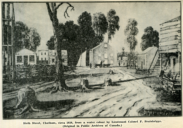
school was erected on the site of the present Central School in 1831 and
in 1833 a census was taken which revealed a population of about 300. In
North Chatham was first surveyed and in 1850 Chatham was incorporated a
village. In it became a town and in a city.
The Thames was first called
by the Indians, the Escunisepe, the river later bore the name La Tranche
and finally was called the
Thames.
During the war of 1812, General
Procter’s army, accompanied by the Shawnee Chief Tecumseh and his braves,
in their retreat up the river, halted at Chatham, the Indians on the
military reserve and the British opposite on the north bank of the river.
Tecumseh considered the point at the junction of the Thames and McGregor’s
Creek the best place to make a stand against General Harrison’s
Kentuckians who were pursuing them, but the stand was finally made further
up the river at Moraviantown where the British were defeated and Tecumseh
killed.
 |

