|
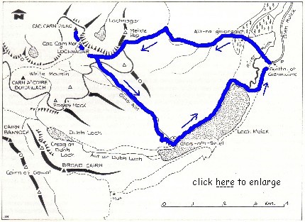
The blue line shows the route
taken
(map courtesy of the Scottish Mountaineering Club)
Click
here for a detailed map of the summit
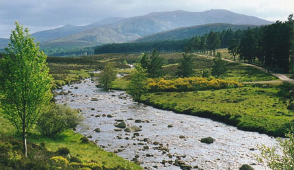
Glen Muick and the River Muick,
looking north
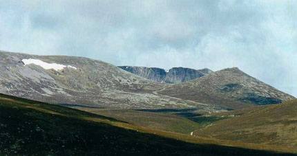
Looking west to Lochnagar from the
Spittal of Glenmuick
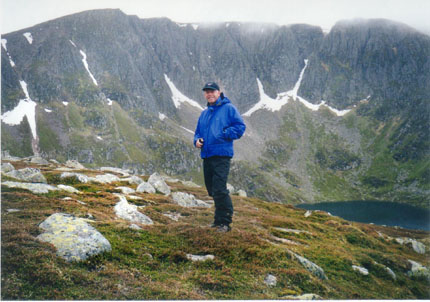
Self-timer photo looking to the north-east corrie of Lochnagar
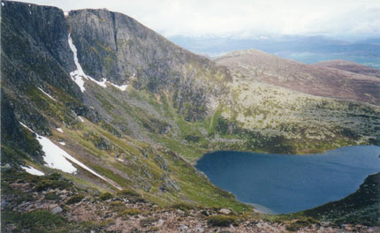
Lochan na Gaire (wee loch of the noisy sound)
from which Lochnagar gets its name
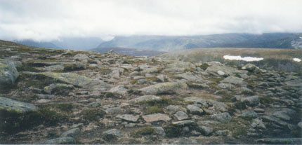
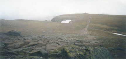
The summit plateau
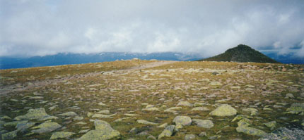
Looking north to the highest point: Cac Carn Beag (pass of the
small cairn)
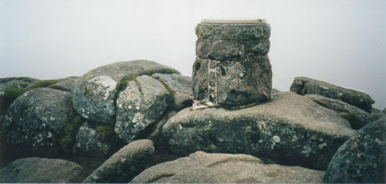
The summit marker on Cac Carn Beag (3,786 feet)
Looking south through the mist to Cac Carn Mor
(pass of the large cairn) the second highest point (3,768
feet)
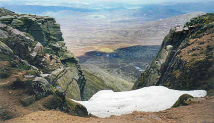
Looking east through one of the gullies leading from the
summit
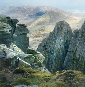
The precipices ("steep frowning glories") of Lochnagar
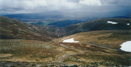
The descent to the east via the burn known as the "Glas Allt"
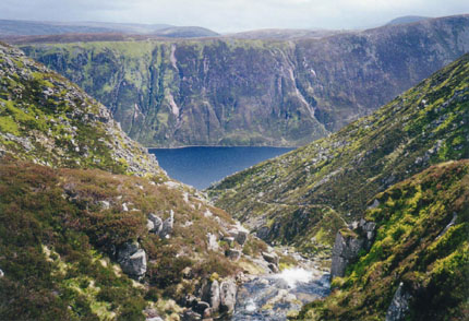
View east to Loch Muick from the head of the Glas Allt
waterfall
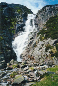
The Glas Allt waterfall
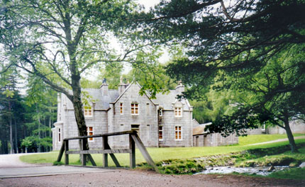
The house known as "Glas-allt-Sheil" built for Queen Victoria
in 1868 |


